Name That Skyline - Picture Game

Homebrew Talk - Beer, Wine, Mead, & Cider Brewing Discussion Forum

Help Support Homebrew Talk - Beer, Wine, Mead, & Cider Brewing Discussion Forum:

This site may earn a commission from merchant affiliate links, including eBay, Amazon, and others.
Above 8000 feet so can’t be Crowley. Not sure there are any roads to lakes above 8000 feet in the southern Sierra Nevada mountains. Can one drive here?

OK, I’m going with Rock Creek Lake in Mono County.
 
Last edited:
Above 8000 feet so can’t be Crowley. Not sure there are any roads to lakes above 8000 feet in the southern Sierra Nevada mountains. Can one drive here?

OK, I’m going with Rock Creek Lake in Mono County.
You are correct. The clue was in relation to the colorado location being the highest public paved road in the US. Rock creek lake is on the highest paved road in California. The elevation of the lake is just about 9800 feet and the end of the road a half mile or so south is a little over 10,000 feet. We camped there over the 4th of July in 2020 during the pandemic. I have never seen so many people above 10,000. Everyone had to get out of the house. We hiked from the end of the road just over 7 miles to get to the Gem Lakes, next door to Morgan Pass.

Inspector Jon, you are up!
 

Attachments

  • F4AF9D6E-1713-43B5-93DA-41CE7BCC2D33.jpeg
    F4AF9D6E-1713-43B5-93DA-41CE7BCC2D33.jpeg
    4.7 MB · Views: 0
  • 5B8645DB-6934-40E2-B43F-BDF8D0104F1C.jpeg
    5B8645DB-6934-40E2-B43F-BDF8D0104F1C.jpeg
    5.4 MB · Views: 0
  • 2BD29C4B-3B31-42FB-8503-84D1E0317AE7.jpeg
    2BD29C4B-3B31-42FB-8503-84D1E0317AE7.jpeg
    3.4 MB · Views: 0
  • 0E05CD75-2E12-4C44-891C-87F0914571B7.jpeg
    0E05CD75-2E12-4C44-891C-87F0914571B7.jpeg
    4.7 MB · Views: 0
  • D528FBD5-E40D-49C3-BFDD-FF4D0F7FCBEA.jpeg
    D528FBD5-E40D-49C3-BFDD-FF4D0F7FCBEA.jpeg
    5.5 MB · Views: 0
  • F51A7990-70E6-460B-A61C-17293E5C05FD.jpeg
    F51A7990-70E6-460B-A61C-17293E5C05FD.jpeg
    5.6 MB · Views: 0
  • 496D085D-2E73-4EB3-92E1-6E45FCE1696A.jpeg
    496D085D-2E73-4EB3-92E1-6E45FCE1696A.jpeg
    4.9 MB · Views: 0
  • B6AB9EE8-DC74-45EC-9D41-93A561743207.png
    B6AB9EE8-DC74-45EC-9D41-93A561743207.png
    1.6 MB · Views: 0
  • AE6FDD90-AC2C-476D-8273-2B460262FBAE.jpeg
    AE6FDD90-AC2C-476D-8273-2B460262FBAE.jpeg
    5 MB · Views: 0
That’s a good start. Correct country and state. Now we need a correct island , city and hopefully specific location. The nearest city will do.

If you zoom in there is a beach. The name of the beach and community would be cool.
 
Last edited:
Moku nui and Moku Iki, across from Lanikai, picture taken from Lanikai Monument.

Given Hawaii it didn't take too long to peruse the waters outside the islands. Cool place to kayak to, I bet.
 
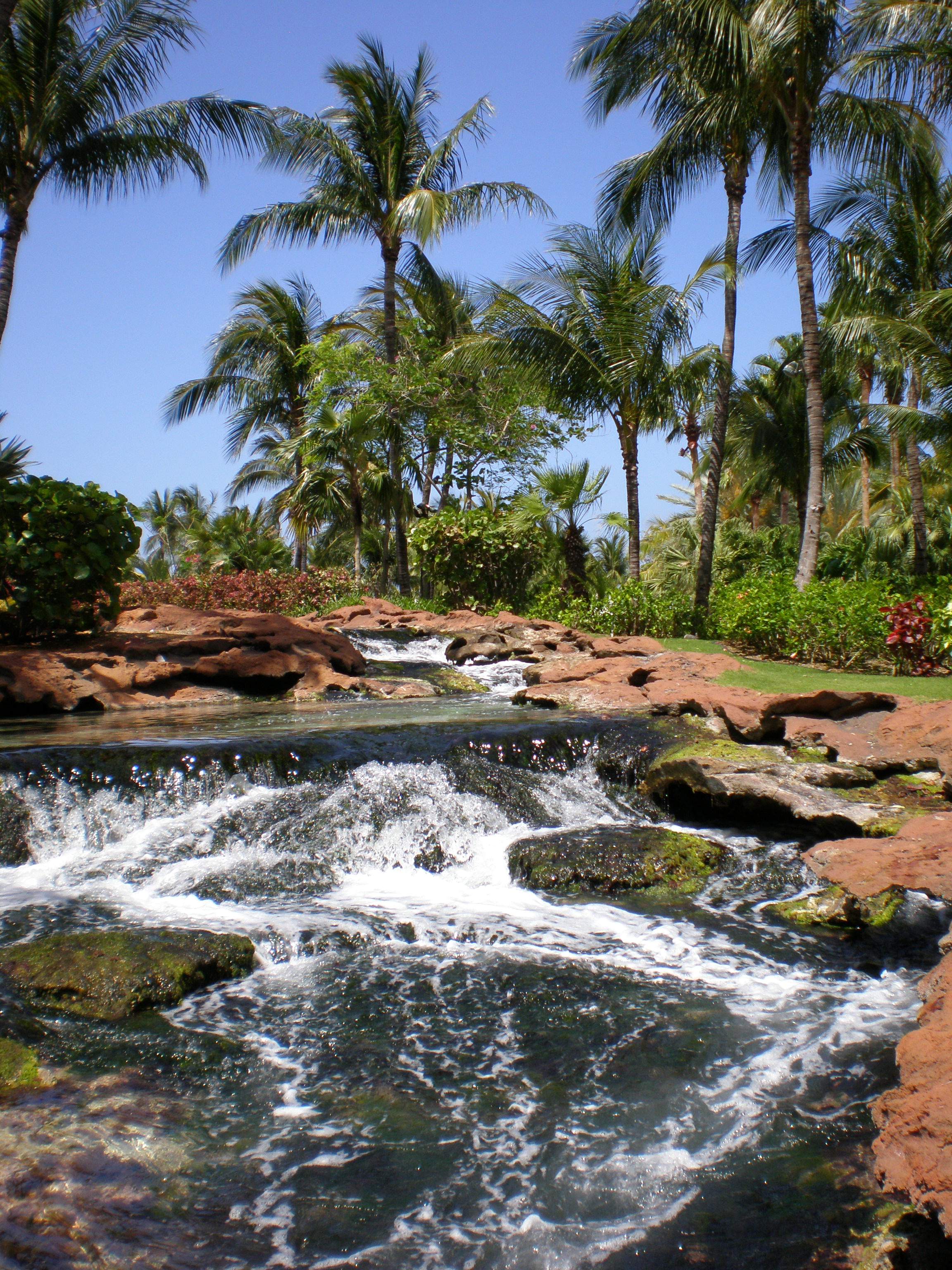
Is it a natural falls, or man made? I keep feeling like it's something put together for a resort.

I was checking the Bahamas but per the internet the place has no natural waterfalls anywhere. Haven't had a chance to branch out further.
 
Not Jamaica
Dunn River Falls is much steeper and generally full of peoplec
Is it a natural falls, or man made? I keep feeling like it's something put together for a resort.

I was checking the Bahamas but per the internet the place has no natural waterfalls anywhere. Haven't had a chance to branch out further
Is it a natural falls, or man made? I keep feeling like it's something put together for a resort.

I was checking the Bahamas but per the internet the place has no natural waterfalls anywhere. Haven't had a chance to branch out further.
Is it a natural falls, or man made? I keep feeling like it's something put together for a resort.

I was checking the Bahamas but per the internet the place has no natural waterfalls anywhere. Haven't had a chance to branch out further.
You’re on the right track
 
Interesting guess, a good one. I keep thinking around the Highlands / Cashiers area down in that SW section of North Carolina. Spent a few weeks there once, beautiful, and waterfalls everywhere. First and only family vacation we came back weighing less than we started.

I think I see a pine tree high and back so it is looking like it could be a lot further north or higher in elevation. The rocks are gray and I feel like that North Carolina area had them more brown.

I feel like we might be back in Colorado again.
 
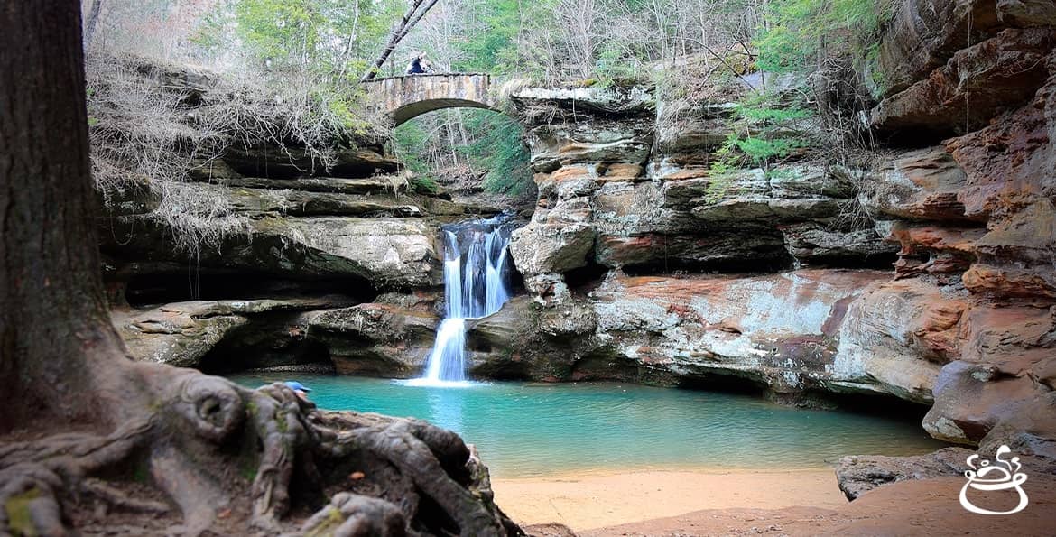
Georgiana Falls

When visiting Boston, just an easy jaunt up I-93. ;)
Good guess. But, if the 1993 trip started by dropping #2 son in Waterville, Maine for his freshman year in college and then visiting #1 son in Cambridge, Mass., where he was beginning his final semester in college, one would more likely head west on I-90 from Boston to get back to Kirkwood, MO. :D So, not New Hampshire/Georgiana Falls.
 
I presume you mean the tide of war. As a once-was history teacher, I have to approve of this display of knowledge
Gettysburgh Battlefield, Gettysburg, PA. A colorized version of a picture taken at the reunion marking the 50th anniversary of the Battle of Gettysburg, which marked the high tide of the Confederacy and a turning of the tide to favor the union.
 
Last edited:
We didn't travel far enough south after seeing Bash Bish Falls on that 1993 trip to see Gettysburg because we turned west on I-84, but, going back to the lesser known waterfalls theme, we got off to visit this:

1993.png
 
Back
Top