Hah, well, I didn't expect that but OK! Next:


Thanks, to @Andres Falconer for the idea... This is related to my previous entry:View attachment 751836
Wrong continent!Mogollon Rim?
You got it!Tugela Falls, South Africa


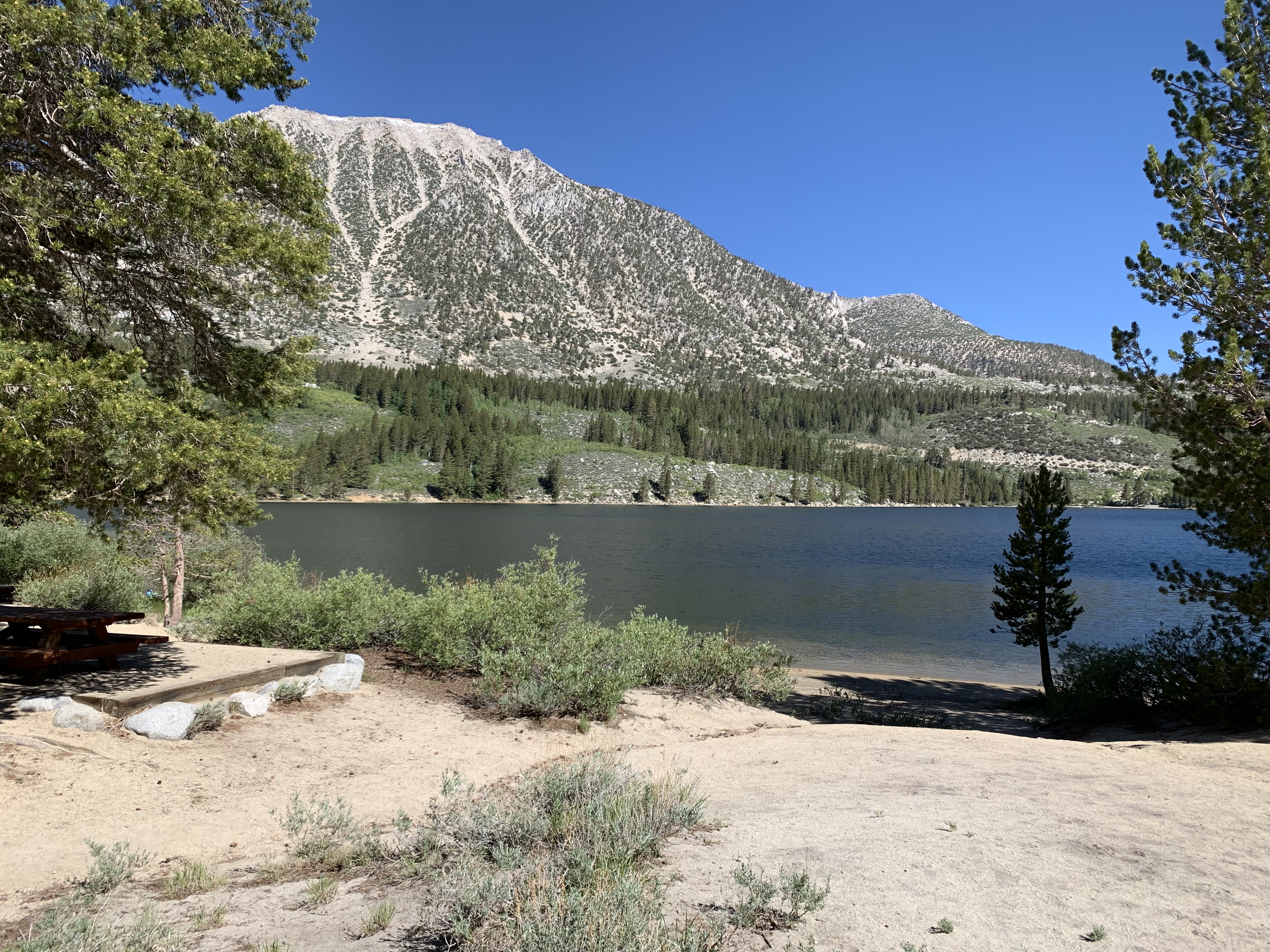
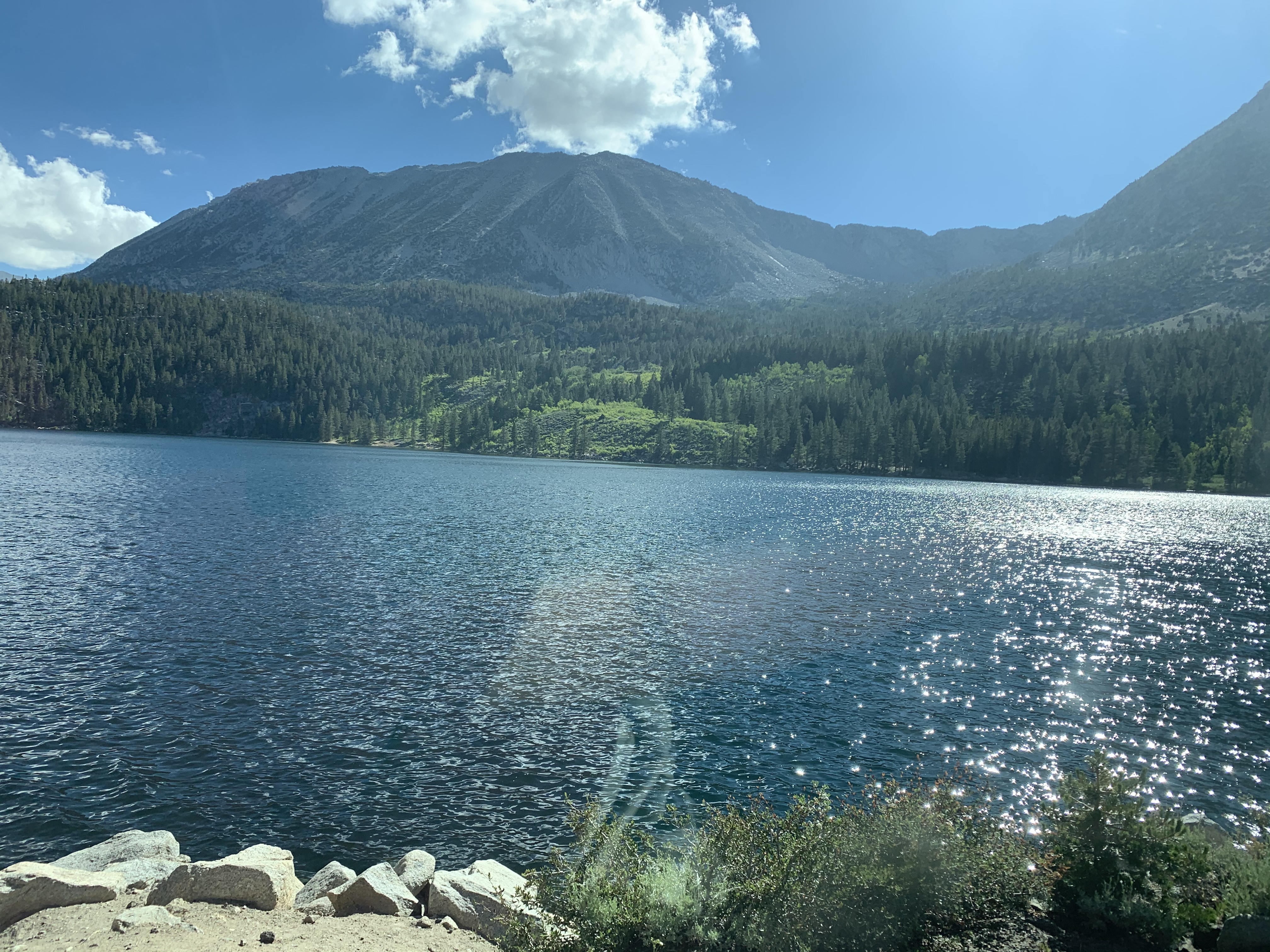
It is in the Sierra Nevada. There is a small connection to a couple posts ago in Colorado.Cali Sierra Nevada Mtns?
Even higher, and yes, June Lake is relatively closeLooks like higher elevation (6000-8000 feet), eastern Sierras. June Lake or nearby?
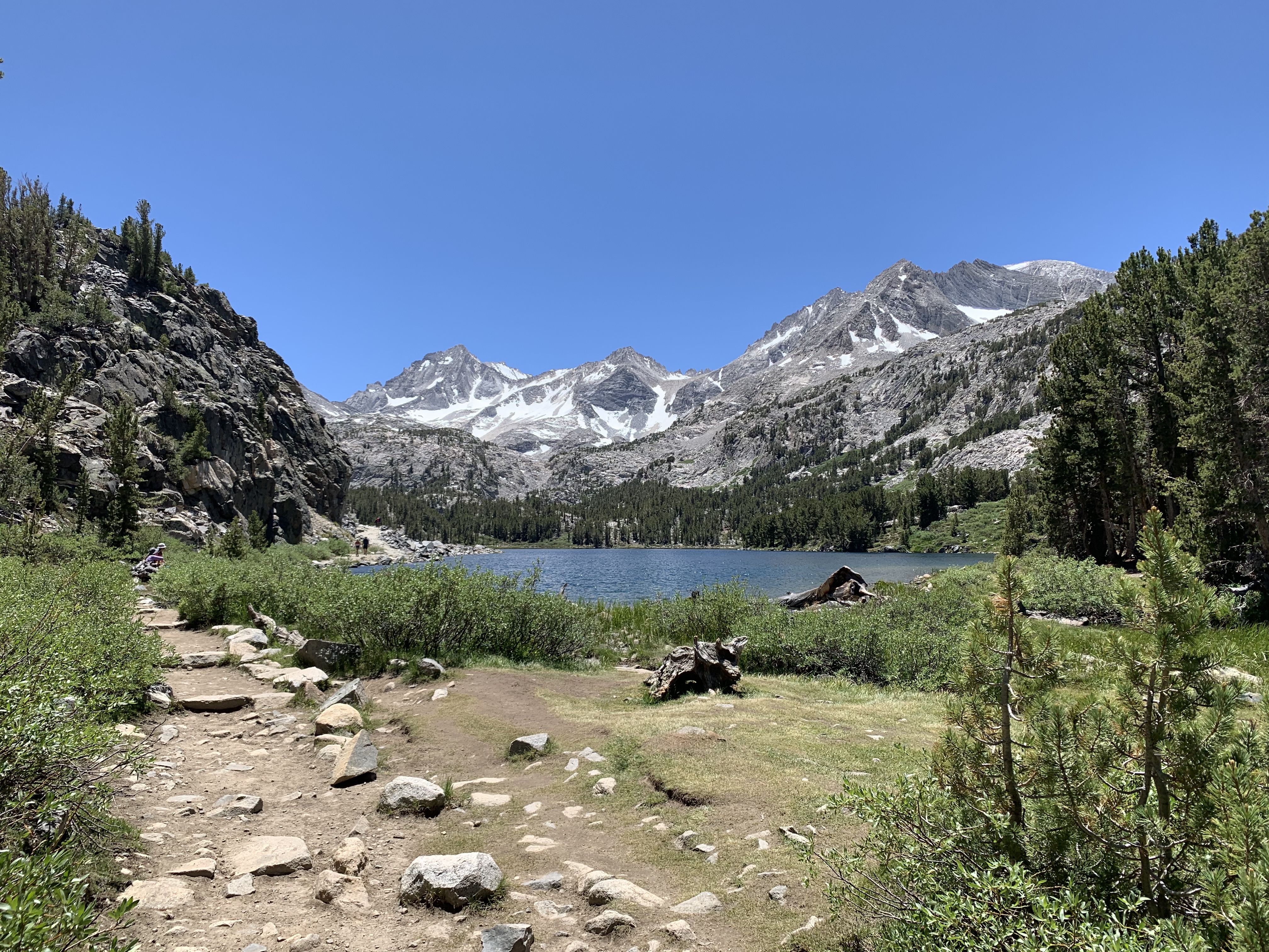
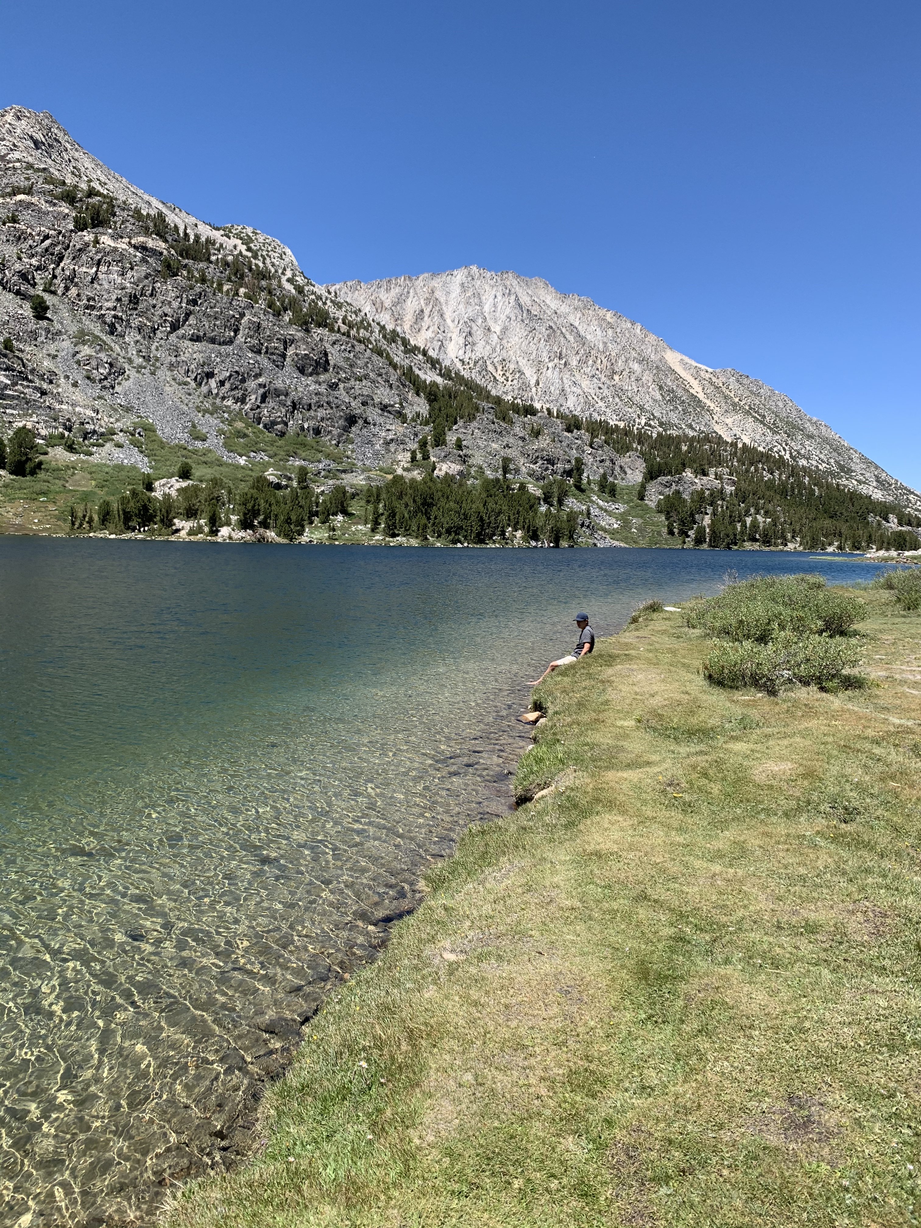
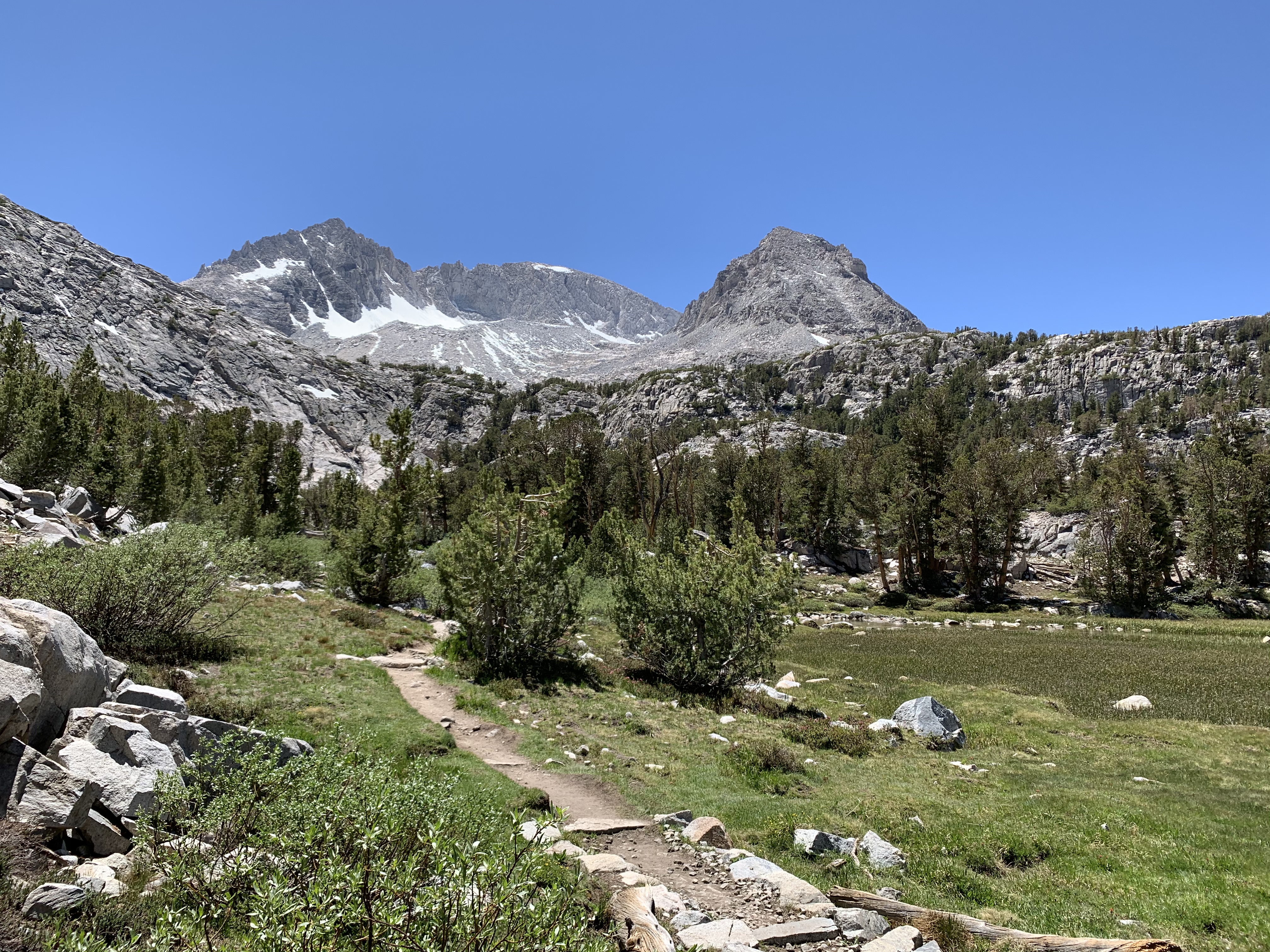
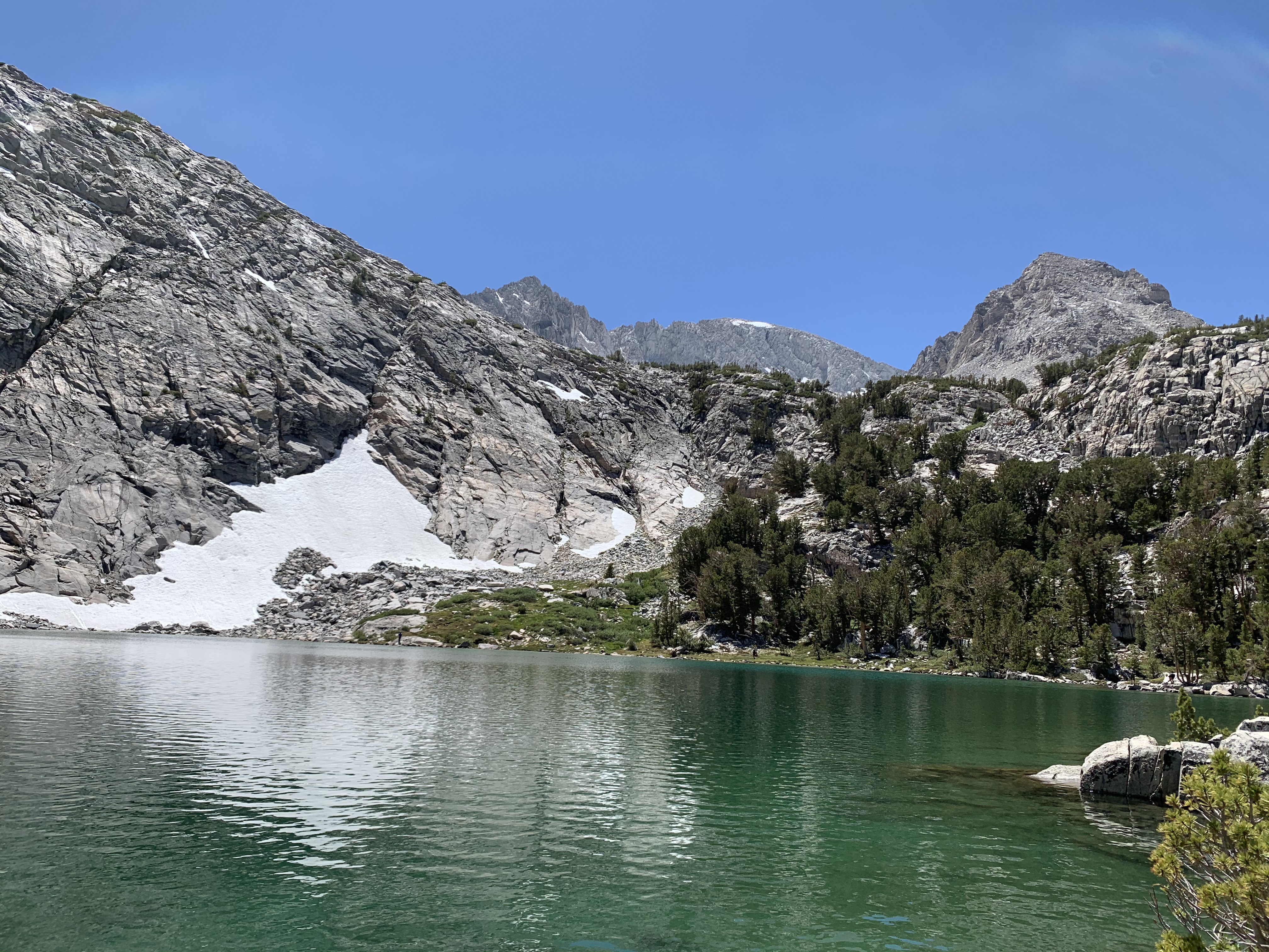
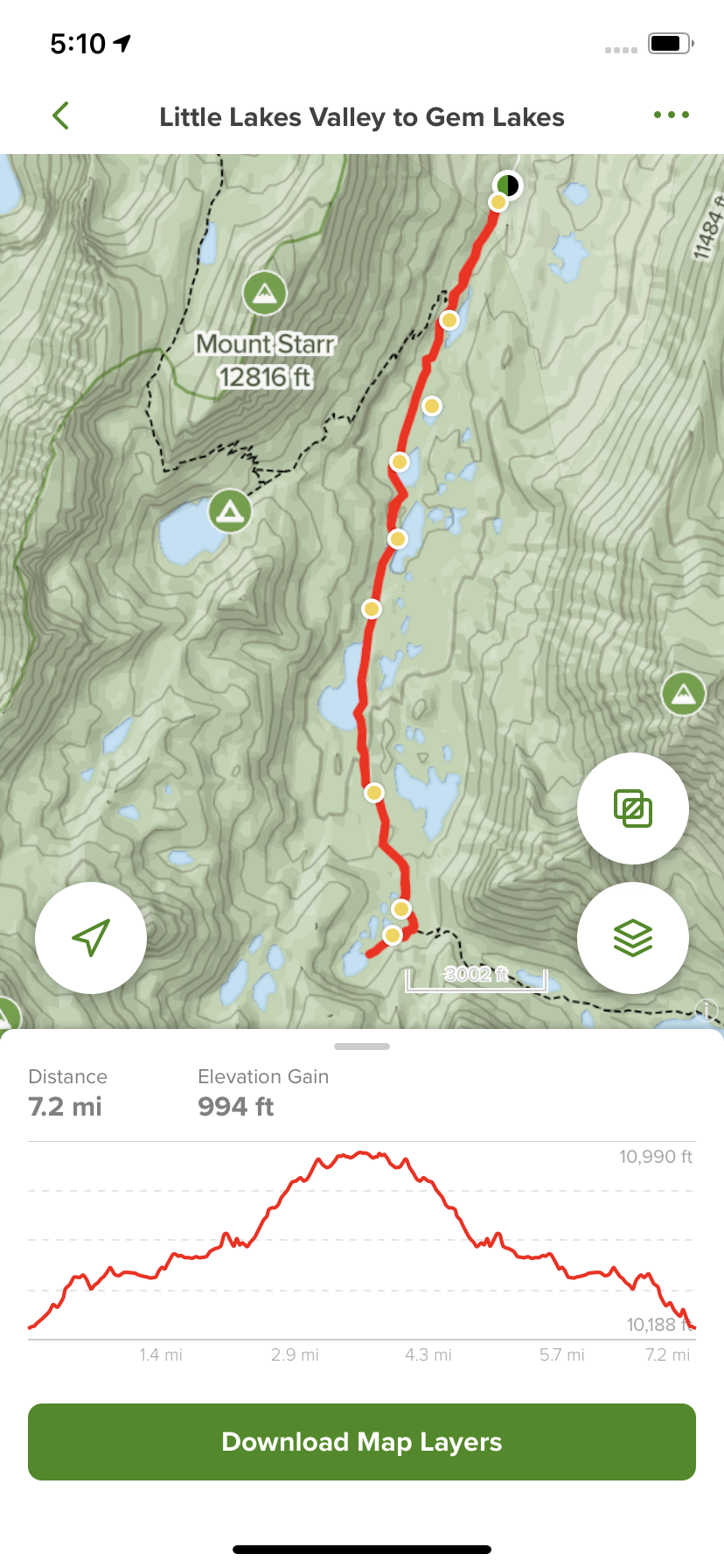
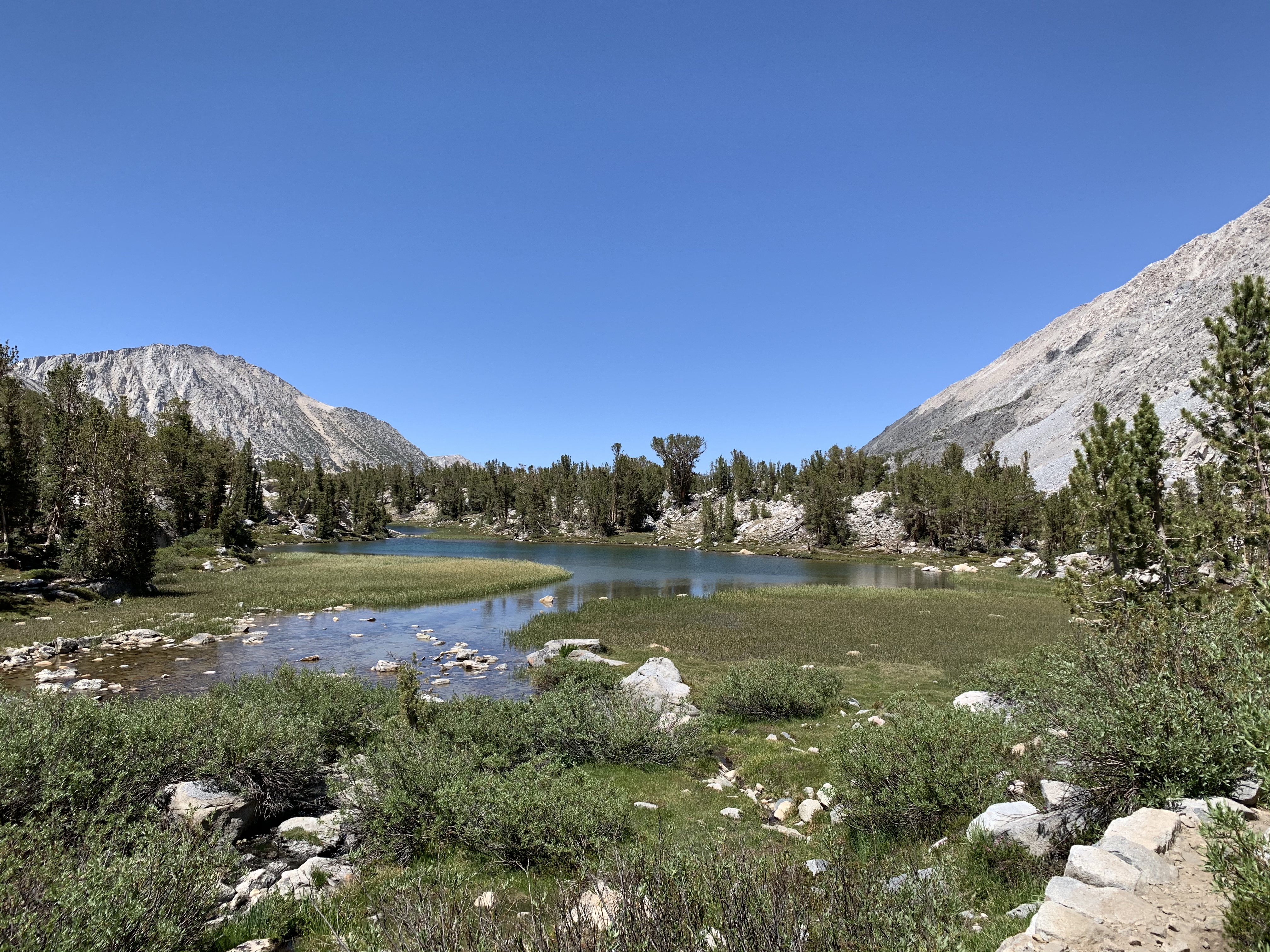
You are correct. The clue was in relation to the colorado location being the highest public paved road in the US. Rock creek lake is on the highest paved road in California. The elevation of the lake is just about 9800 feet and the end of the road a half mile or so south is a little over 10,000 feet. We camped there over the 4th of July in 2020 during the pandemic. I have never seen so many people above 10,000. Everyone had to get out of the house. We hiked from the end of the road just over 7 miles to get to the Gem Lakes, next door to Morgan Pass.Above 8000 feet so can’t be Crowley. Not sure there are any roads to lakes above 8000 feet in the southern Sierra Nevada mountains. Can one drive here?
OK, I’m going with Rock Creek Lake in Mono County.


Got it!Hocking Hills State Park

You’re guessing correctlyLooks tropical, but different rock, i'm guessing the Caribbean?


![Craft A Brew - Safale BE-256 Yeast - Fermentis - Belgian Ale Dry Yeast - For Belgian & Strong Ales - Ingredients for Home Brewing - Beer Making Supplies - [3 Pack]](https://m.media-amazon.com/images/I/51bcKEwQmWL._SL500_.jpg)