Name That Skyline - Picture Game

Homebrew Talk - Beer, Wine, Mead, & Cider Brewing Discussion Forum

Help Support Homebrew Talk - Beer, Wine, Mead, & Cider Brewing Discussion Forum:

This site may earn a commission from merchant affiliate links, including eBay, Amazon, and others.
Not much to say - you know it's in South America, you can see that they are driving on the left - that doesn't leave much choice of country....
 
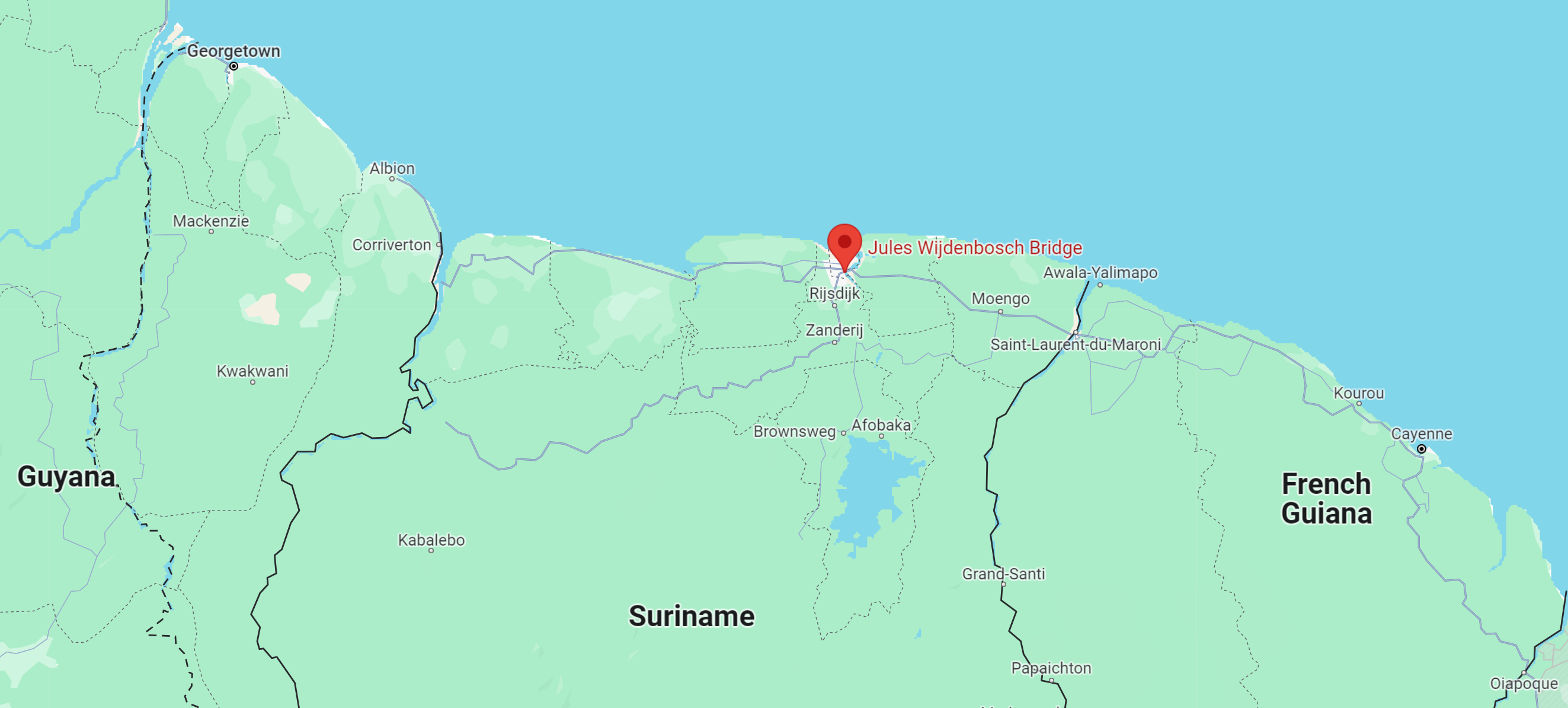
Jules Wijdenbosch Bridge Suriname
Yep, it's the bridge across the Suriname River that was built to join up the two halves of the country. I thought driving on the left might catch you out - the Dutch used to drive on the left so most of their colonies do, even though the motherland has switched to the right like the rest of continental Europe.

Prompted by 25th February being Suriname's Day of Liberation and Innovation, formerly Revolution Day, celebrating the military coup on that day in 1980.

1709196890465.png


CC - you're up
 
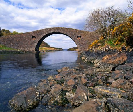
Feels like one of the military roads built in the Scottish Highlands in the 18th century.

Banks on this side of the bridge look like it's tidal? Big single arch implies that it's navigable?

Don't think it's in the northeast which is the bit I know best. Rocks look like sandstone so more the southern Highlands?
 
I might as well stick with the theme. Granted, this one is nowhere near as beautiful as a few of the previous ones, but it does have some significance. I know this is going to be tricky so I'll let you know that it's in the US.
 

Attachments

  • Screenshot_20240305_051019_Maps.jpg
    Screenshot_20240305_051019_Maps.jpg
    132.8 KB · Views: 0
The starting point of the Rio is a lot closer to the longitude. Latitude is still a bit too south
 
Another hint. I usually don't post anything too far from where I am. (Glacier, Bridger Mountains, etc)
 

Latest posts

Back
Top